 AlpiNav
SKI RESORT · France · Hautes-Alpes
Serre-Chevalier
Offline map available
157km of pistes
70lifts
2764 mtop elevation
1211 mlowest point
1551 mvertical
33°steepest pitch
Piste map
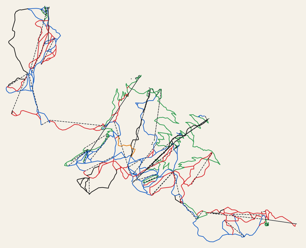
Pistes by difficulty
| Beginner | 93 | 40.4 km |
| Easy | 97 | 50.6 km |
| Intermediate | 57 | 44.6 km |
| Advanced | 21 | 15.5 km |
| Freeride | 1 | 1.5 km |
- Longest piste Briance · 5.4 km
- Biggest lift TCD10 Pontillas · 862 m
- Lift types platter 22, chair lift 20, magic carpet 15, drag lift 5, gondola 5, rope tow 2, cable car 1
Route examples
- Top of Yret to Bottom of Prorel 1: 48 min
via Yret → Cucumelle → Eychauda → Cucumelle → Parc abri → TSD6 Côte Chevalier - Bottom of Prorel 1 to Top of Yret: 70 min
via Prorel 1 → Prorel 2 → Pelvoux → Rocher Blanc → Bergers → Myrtilles
Get turn-by-turn directions in Serre-Chevalier
Open in AlpiNavDownload AlpiNavNearby ski resorts
- Pelvoux-Vallouise 10 km
- Nevache ski area 11 km
- Montgenèvre 13 km
- Puy-Saint-Vincent 14 km
- Claviere 16 km
- Bardonecchia 17 km